 |
| Fehmarn Island, northern Germany |
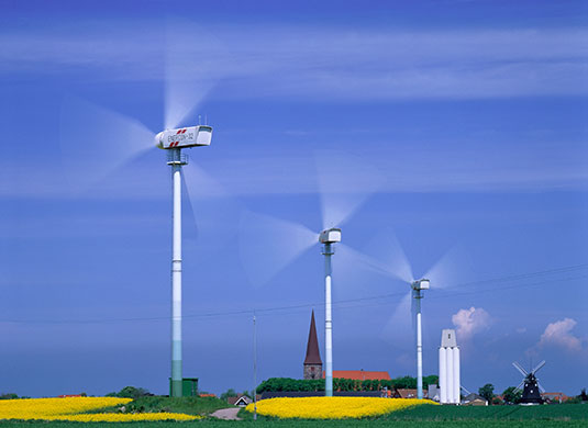
Early modern surveying manuals often indicate that surveyors used such church towers and other tall urban structures (including windmills, the monstrous turbines of that age) to orient their surveys. The seventeenth-century Dutch painting I've used as a backdrop offers an example of this practice.
But in most early American settings where surveyors worked, there were few buildings, and few churches, that could serve such a purpose, and it was unlikely that a surveyor could get a clear view of such a building in those few areas where one may have existed. In the excerpt of Jefferson's survey included in the last post, we see him start his survey by sighting "Willis' mountain," not a church spire. Measurement of the land required American surveyors to engage with "wilderness" in a way that most European surveyors did not.