Recently I was reading a new children's book called
Dutch Things, by Nathalie Farber and Matthijs Immink. The book is a translation of
Hollandse Dingen (& vice versa), and shows
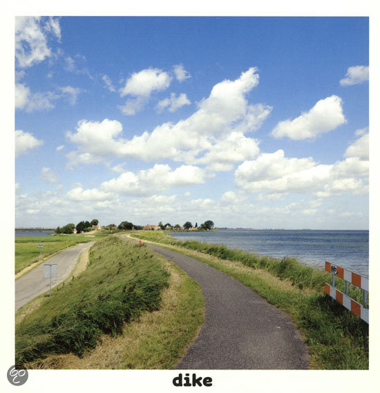
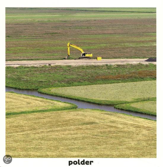
clever pictures of typical (and not-so-typical) Dutch objects and scenes along with words that apply to them. The landscape of the Netherlands features in several photos--
polder,
dike, and the final page in the book,
patchwork, which features an image of an immaculate grid of green fields that butt up against a dike lined with wind turbines and a sea beyond.
It is a commonplace to note that the Dutch landscape (and seascape) is a central part of Dutch identity--historians such as
Simon Schama and Donna Merwick and many Netherlanders themselves often have seen their landscape and their methods of addressing the relationship between land and water as central to who they are. The choices of
polder and
dike in
Dutch Things are clear examples of that identification with the man-made landscape.
The image for
patchwork, though, struck me more forcefully, as it shows the surveyor's influence so readily. Indeed, the Netherlands was at the forefront of land surveying in the early modern period, in part because so much of its landscape was the product of reclamation.
New lands could be measured, bought, sold, regulated, and taxed efficiently with the
new methods of the time.
Surveyors were key players in these processes of making the Dutch landscape. The word
landscape in English originally comes from seventeenth-century Dutch
landschap, which, Svetlana Alpers writes, referred "to both what the surveyor was to measure and what the artist was to render" ("The Mapping Impulse in Dutch Art," in
Art and Cartography: Six Historical Essays, edited by David Woodward).
Dutch landscapes made by Dutch surveyors: Dutch things.


.jpg)